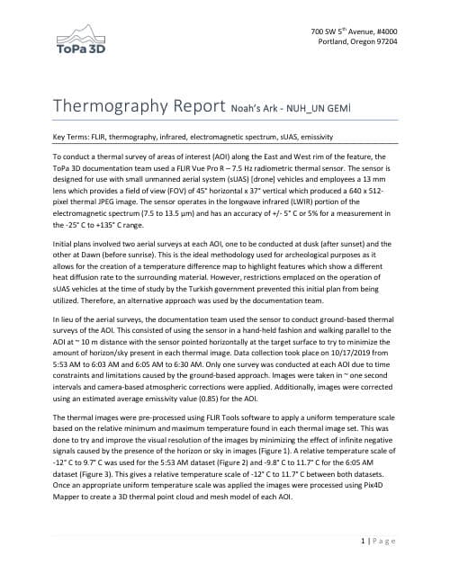
2019Pro-Ark research
ToPa 3D Thermal Survey Report
ToPa 3D / Bigman Geophysical
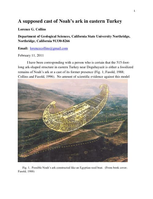
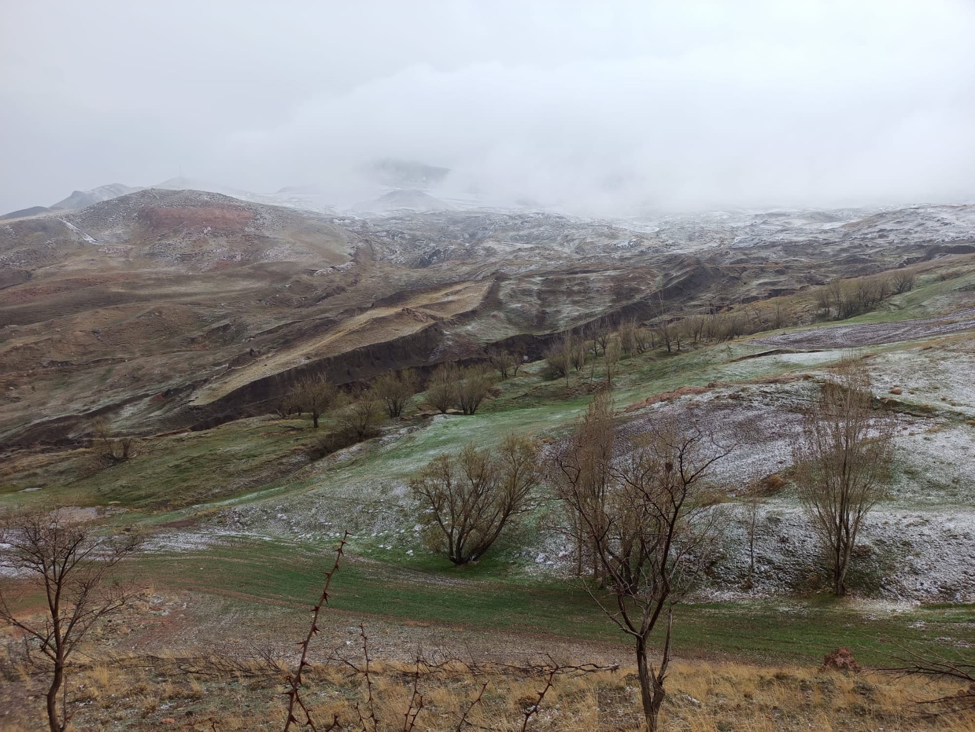
Thermal imaging survey of the Durupınar formation, examining surface temperature anomalies that may correlate with subsurface voids or differing material density.
View PDF(717 KB)